valentinenebraska.net
58°F
Valentine, Nebraska..Website Since 2014
Updated:  18-Sep-2025 10:48am 
  Overcast Temperature: 58.3°F Warmer 0.1°F than last hour.   +0.1°F/hr Humidity: 94%Decreased 4.0% since last hour. Dew Point: 56.6°FDecreased 1.9°F since last hour. Wind: NW  19 mph Gust: 29 mph Barometer: 30.007 inHgRising 0.01  inHg/hr  Steady Rain Today: 0.04 in UV Index: 0.0  None

Navigation

  • Home
  •  Forecast
  • *Information blog
  • Cameras
  • NWS Briefing
  • NWS Discussion
  • Hourly Roundup
  • Weather Story
  • Air Quality
  • High-Res Doppler
  • Radar/Satellite
    • Radar Local GRLevel3
    • Radar Loop
    • GOES19 Satellite Loops
  • Reports/Daily
    • Climate Reports
    • summary
    • (0F) and below data
    • Freeze data
    • Station Graphs
    • Snow Report 2025-2026
    • Snow Report 2024-2025
    • Snow Report 2023-2024
    • Snow Report 2022-2023
    • Snow Report 2021-2022
    • Snow Report 2020-2021
    • Snow Report 2019-2020
    • Snow Report 2018-2019
    • Snow Report 2017-2018
    • Snow Report 2016-2017
    • Snow Report 2015-2016
    • Snow Report 2014-2015
  • South Valentine
  • Trends/Records
  • Advisory Map
  • About
  • Links
  • Website Map

External Links

  • *Miller Field
  • *MF Summary
  • *MF Monthly
  • *Climate Daily
  • *WU Valentine
  • *Area Obs
  • Alerts


    No alerts

    page counter

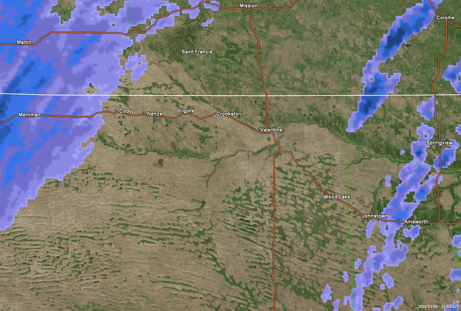
US and Territories Current NOAA Ridge Radar

Radar Site   Radar Type   Show # Images
AutoRefresh   AutoRefresh Interval

, Wyoming Base Reflectivity Radar


The above images are produced by NWS Radar -- Animation by HAniS ©2014-2025 by Tom Whittaker
NOAA Ridge Radar FAQ   Current NOAA Radar Status
Script by SE Lincoln Weather and Saratoga-Weather
(NWS Current Advisories)
Top | Contact Us
© 2025, Valentinenebraska.net | Cumulus (1.9.4-b1099) |

Never base important decisions that could result in harm to people or property on this weather information. The weather data or opinions contained herein is offered without any warranties expressed or implied, and is meant to only supplement NWS weather forecasts and information.