 |
 |
 |
|||||||||||||||||||||||||||||||||||||
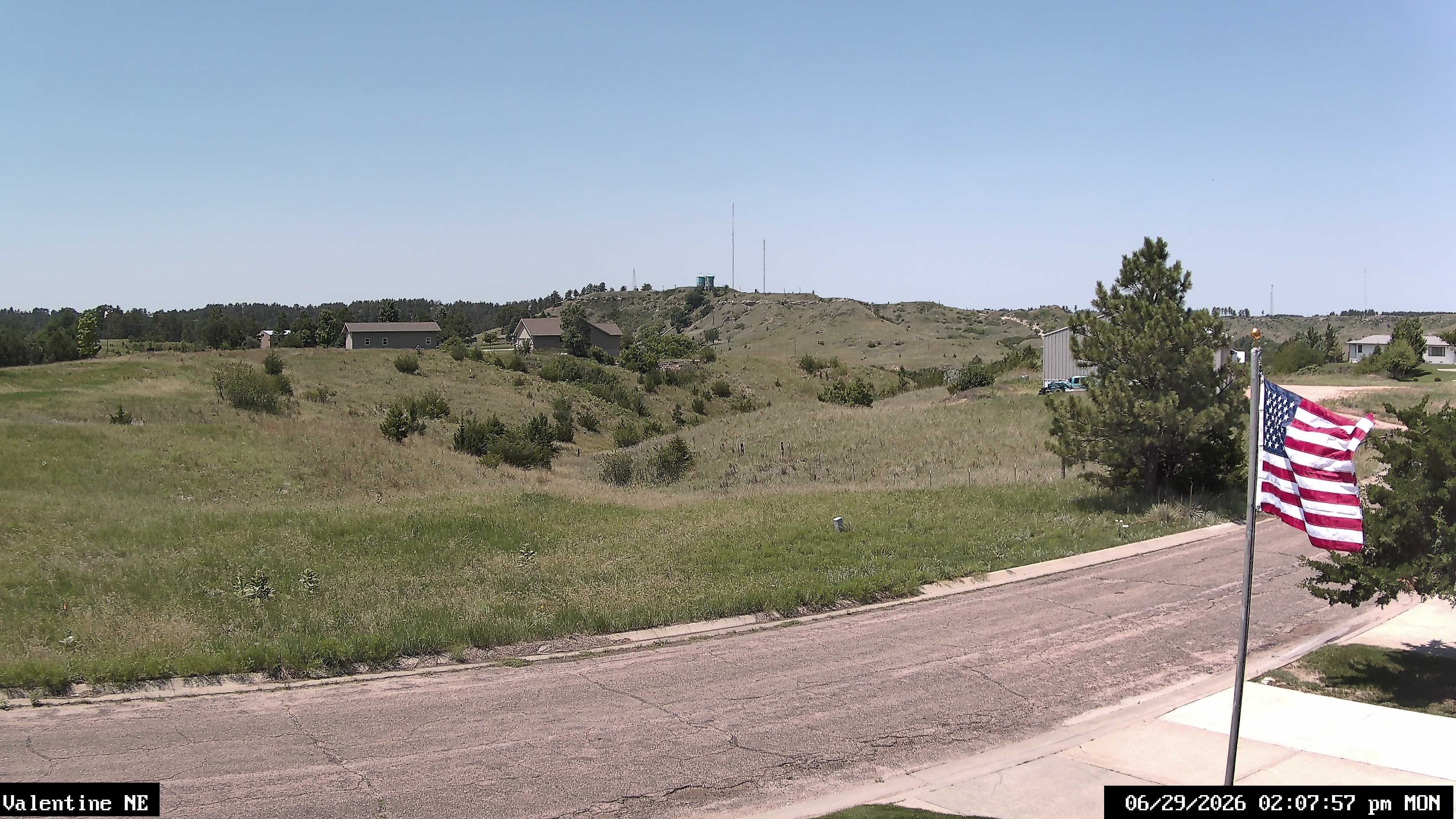
| Updated: @ 30-Jul-2026 3:04pm - next update at 3:06pm | |||||||||||||||||||||||||||||||||||||||
| Summary / Temperature | Wind | Precipitation | Outlook | ||||||||||||||||||||||||||||||||||||
|
|
|
|
||||||||||||||||||||||||||||||||||||
| Humidity & Barometer | Almanac | Moon | |||||||||||||||||||||||||||||||||||||
|
|
|
|||||||||||||||||||||||||||||||||||||
|
|
|
||||||||||||||||||||||||||||||||||||||

Navigation
 Forecast

External Links
|
|
|
|||||||||||||||||||||||||||||||||||||
| Updated: @ 30-Jul-2026 3:04pm - next update at 3:06pm | |||||||||||||||||||||||||||||||||||||||
| Summary / Temperature | Wind | Precipitation | Outlook | ||||||||||||||||||||||||||||||||||||
|
|
|
|
||||||||||||||||||||||||||||||||||||
| Humidity & Barometer | Almanac | Moon | |||||||||||||||||||||||||||||||||||||
|
|
|
|||||||||||||||||||||||||||||||||||||
|
|
|
||||||||||||||||||||||||||||||||||||||

