
 Forecast
| National Weather Service Forecast for:
Valentine, NE Issued by: National Weather Service North Platte, NE |
||||||||||||||||||||||||||||||||||||||||
| Updated: 03/11/2026 9:03am | ||||||||||||||||||||||||||||||||||||||||
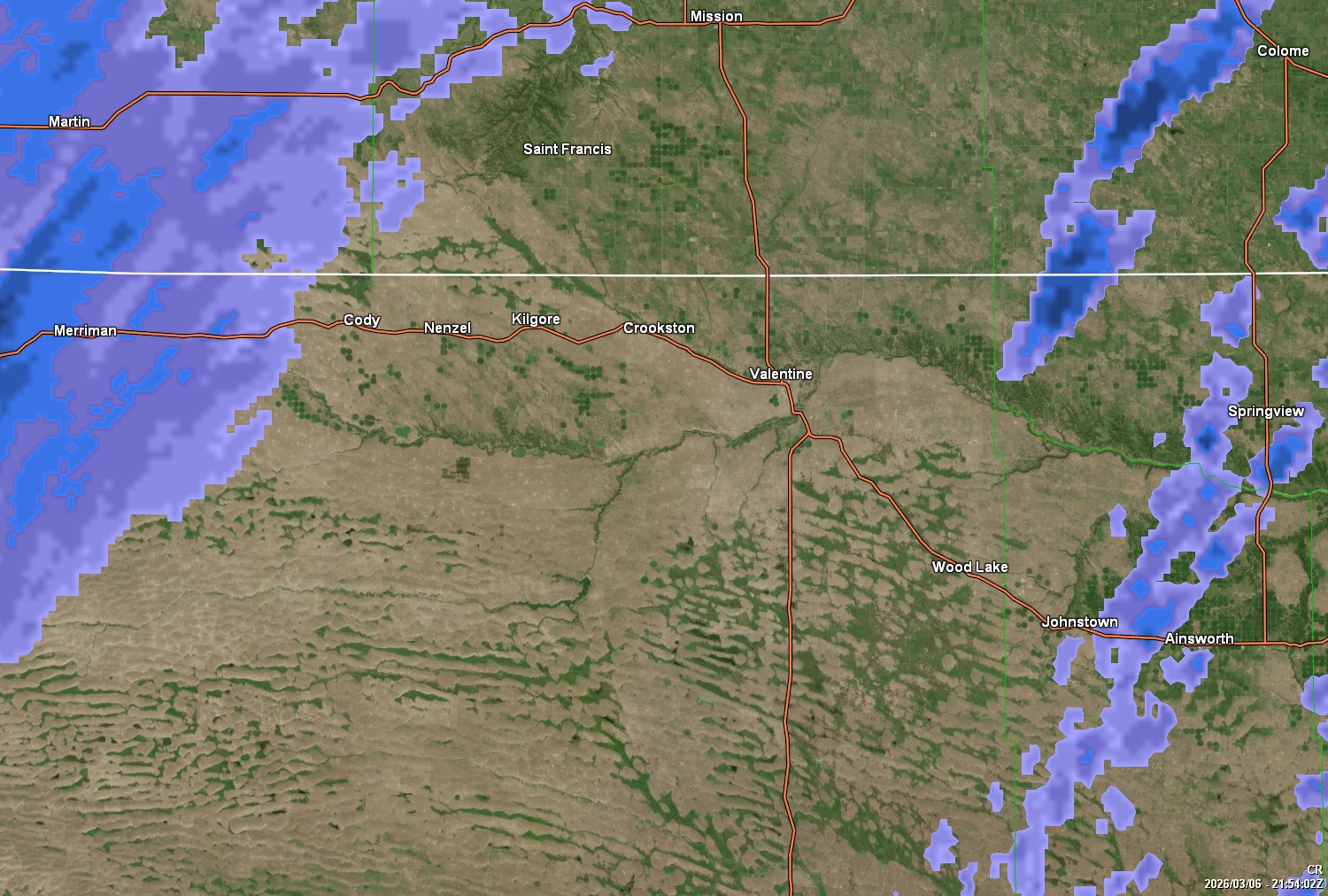
| Valentine NE | ||||||||||||||||||||||||||||||||||||||||
|
||||||||||||||||||||||||||||||||||||||||


Fire Weather Watch issued March 11 at 2:34AM CDT until March 12 at 10:00PM CDT
High Wind Watch issued March 11 at 12:16AM CDT until March 12 at 10:00PM CDT
| Today |
Sunny, with a high near 46. Northwest wind 10 to 20 mph, with gusts as high as 35 mph. |
| Tonight |
Mostly clear, with a low around 24. West southwest wind 5 to 15 mph, with gusts as high as 25 mph. |
| Thursday |
Partly sunny, with a high near 71. West southwest wind 10 to 35 mph, with gusts as high as 50 mph. |
| Thursday Night |
A slight chance of rain and snow showers after 1am. Mostly cloudy, with a low around 26. Northwest wind 10 to 25 mph, with gusts as high as 40 mph. Chance of precipitation is 20%. |
| Friday |
A slight chance of snow showers before 7am. Mostly cloudy, with a high near 52. East northeast wind 5 to 15 mph. Chance of precipitation is 20%. |
| Friday Night |
A chance of snow showers after 7pm. Mostly cloudy, with a low around 24. Chance of precipitation is 30%. |
| Saturday |
A slight chance of snow showers before 7am, then a chance of rain. Mostly cloudy, with a high near 57. |
| Saturday Night |
A chance of rain before 7pm, then rain and snow. Mostly cloudy, with a low around 16. |
| Sunday |
Rain and snow likely. Mostly cloudy, with a high near 31. |
| Sunday Night |
A chance of snow. Partly cloudy, with a low around 10. |
| Monday |
A slight chance of snow. Mostly cloudy, with a high near 40. |
| Monday Night |
A slight chance of snow before 1am. Mostly cloudy, with a low around 21. |
| Tuesday |
Mostly cloudy, with a high near 64. |
| Tuesday Night |
Mostly cloudy, with a low around 35. |
Forecast from NOAA-NWS for Valentine, NE.